Long Branch Project Overview
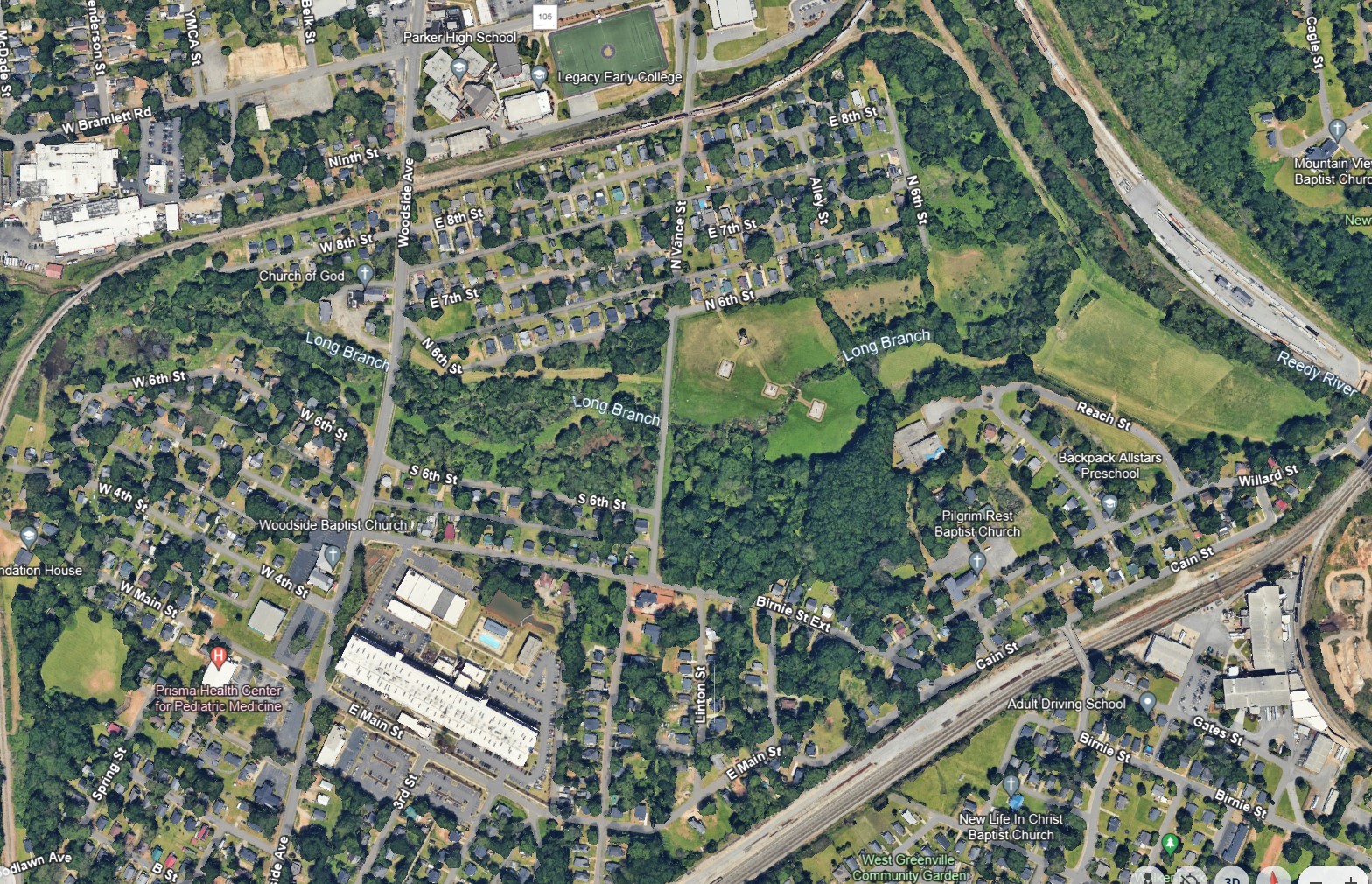
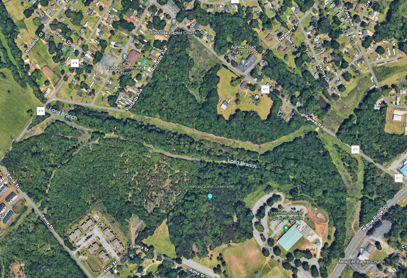
Long Branch is a tributary to the Reedy River and has a watershed area that is approximately 2,900 acres. This watershed is primarily older development with some newer commercial and industrial sites, and has begun to become revitalized, but is largely low income and older mill-style houses and mobile homes. The streams and tributaries vary in their levels of erosion and are bordered by utilities along some sections, with multiple stream crossings. Vertical banks exist in some places and are at risk of failure, which poses a risk to water quality in the Reedy River, as they can serve as a direct source for pollutants (sediment and nutrients).
Stream enhancements will occur along approximately 3,900 linear feet of the mainstem of Long Branch and 2,200 linear feet of its tributaries. This stream improvement will include the creation of a flood bench that will help reduce velocities in the stream, and in some cases reroute the stream. These changes will reduce stream velocities, reduce the potential for bank failures, and provide a form and function to the stream that will enhance habitat and stream ecology.
Update: This project has been awarded to HGS, Inc (RES Environmental Operating Co, LLC) and will soon go into construction.
Long Branch Vicinity Map 1

Long Branch Vicinity Map 2
