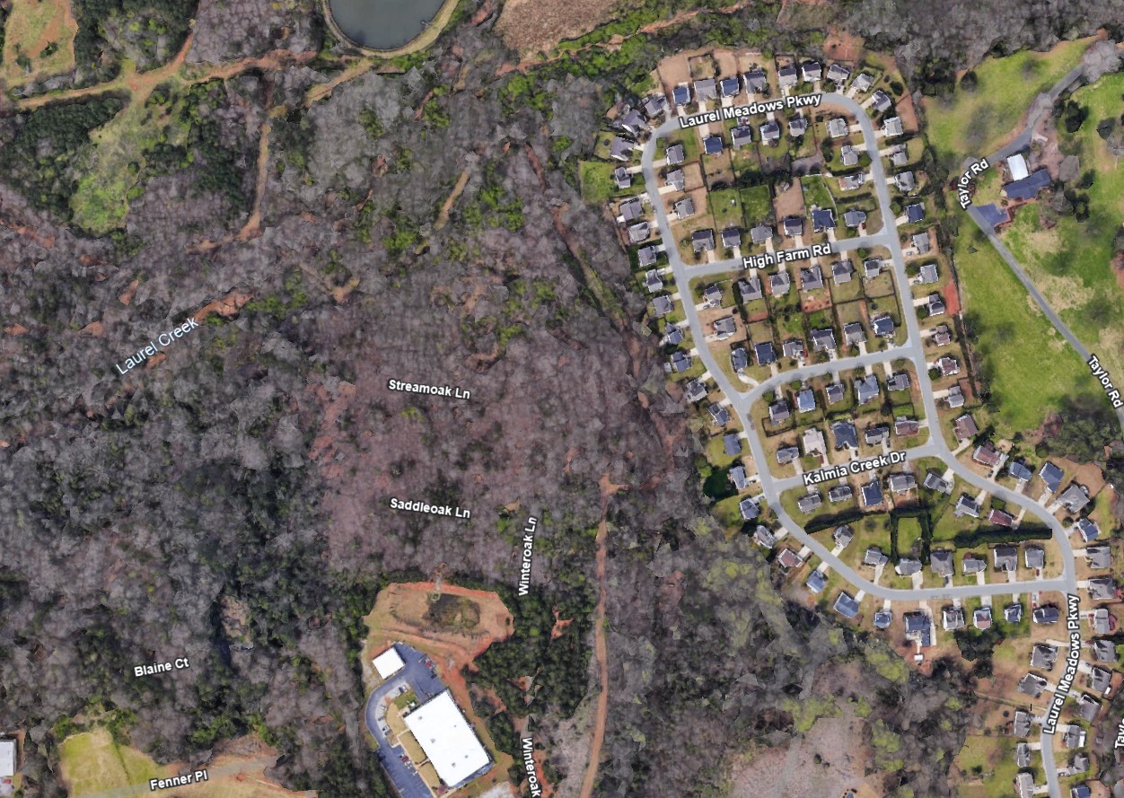
Laurel Creek Project Overview
This proposed project will restore two tributaries of the lower section of Laurel Creek between the Laurel Meadow and Knollwood Neighborhoods in Mauldin, SC. This section is located near the confluence with the Reedy River, downstream of Lake Conestee, and includes approximately 4,000 feet of stream. The restoration along this reach will vary with space availability and flooding restraints.
Laurel Creek is a 11.7-square mile watershed that extends into the City of Greenville, City of Mauldin, and unincorporated Greenville County. This stream drains some of the most impervious areas in the Reedy River watershed, with 66% of the watershed classified as developed and a 30.7% imperviousness. Many of these areas were built decades ago, prior to current land development requirements.
After years of prior, less restricted development and multiple confinements along it’s reaches (bridges, culverts, sewer lines on either side), this creek has degraded over time, contributing sediment and nutrients downstream to the Reedy River. To prevent further degradation, Greenville County will be working to stabilize the banks along this stream.
Laurel Creek Vicinity Map
